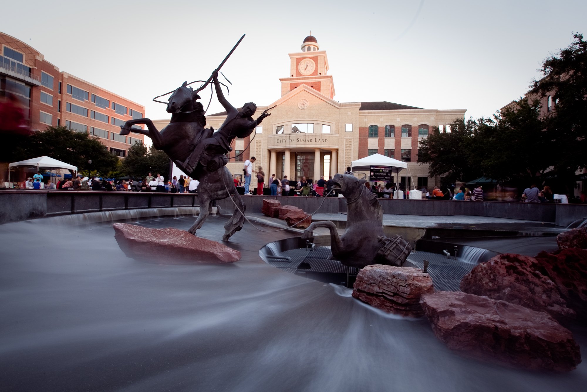
Sugar Land Town Square and its public plaza

Outdoors

Hiking near Sugar Land

National forests, parks, lakes and recreation areas with hiking trails near Sugar Land, closest first.

21places to hike
14 mito the closest
1within 30 miles
November–Aprilbest months

Good to know: Carry more water than you think you need, check the managing agency’s page for trail closures and fire restrictions, and start early on hot days.

Closest picks

1

Buffalo Bayou

14 mi north · US Army Corps of Engineers

These normally dry reservoirs are on the west side of Houston on both sides of I-10 at TX6. They contain the largest municipal park in the Nation and provide a unique recreational experience for the metropolitan area.
2

Attwater Prairie Chicken National Wildlife Refuge

38 mi west · Fish and Wildlife Service

Attwater Prairie Chicken National Wildlife Refuge was established in 1972 to provide habitat for one of the last populations of the critically endangered Attwater’s Prairie-Chicken , a ground-dwelling grouse of the coastal prairie…

3

Brazoria National Wildlife Refuge

43 mi southeast · Fish and Wildlife Service

Established in 1966 to provide wintering habitat for migratory waterfowl and other migratory bird species, the refuge provides more than 45,000 acres of salt marsh and freshwater sloughs, impoundments and potholes among native coastal…

Map of all 21 places

Map of 21 places loads as you scroll.

Within 30 miles (1)

14 mi north · US Army Corps of Engineers

Buffalo Bayou

These normally dry reservoirs are on the west side of Houston on both sides of I-10 at TX6. They contain the largest municipal park in the Nation and provide a unique recreational experience for the metropolitan area.

  • Biking
  • Hiking
  • Horseback riding
  • Picnicking
  • Wildlife viewing

30 to 75 miles (10)

38 mi west · Fish and Wildlife Service

Attwater Prairie Chicken National Wildlife Refuge

Attwater Prairie Chicken National Wildlife Refuge was established in 1972 to provide habitat for one of the last populations of the critically endangered Attwater’s Prairie-Chicken , a ground-dwelling grouse of the coastal prairie…

  • Biking
  • Birding
  • Hiking
  • Photography
  • Picnicking
  • Ranger programs
  • Wildlife viewing

43 mi southeast · Fish and Wildlife Service

Brazoria National Wildlife Refuge

Established in 1966 to provide wintering habitat for migratory waterfowl and other migratory bird species, the refuge provides more than 45,000 acres of salt marsh and freshwater sloughs, impoundments and potholes among native coastal…

  • Biking
  • Birding
  • Boating
  • Fishing
  • Hiking
  • Hunting
  • Motor Boat
  • Non-Motorized Boating

47 mi south · Fish and Wildlife Service

San Bernard National Wildlife Refuge

Established in 1968, San Bernard National Wildlife Refuge is a diverse refuge that protects salt marsh and saltwater lakes, coastal prairies, freshwater lakes and marshes, intermittent streams, and riparian and bottomland forests.

  • Biking
  • Birding
  • Boating
  • Fishing
  • Hiking
  • Hunting
  • Motor Boat
  • Non-Motorized Boating

62 mi northeast · Fish and Wildlife Service

Trinity River National Wildlife Refuge

The 30,000-acre Trinity River National Wildlife Refuge was established in 1994 to protect what was once a much larger, frequently flooded, bottomland hardwood forest ecosystem along the Trinity River.

  • Archery
  • Birding
  • Fishing
  • Hiking
  • Hunting
  • Motor Boat
  • Non-Motorized Boating
  • Photography

65 mi north · USDA Forest Service · Campground

Cagle Recreation Area

Cagle Recreation Area is a popular campground and day-use area that sits along the shoreline of Lake Conroe on the west fork of the San Jacinto River, just 1 hour north of Houston, Texas.

  • Biking
  • Boating
  • Camping
  • Fishing
  • Hiking
  • Water sports

65 mi east · Fish and Wildlife Service

Jocelyn Nungaray National Wildlife Refuge

Jocelyn Nungaray National Wildlife Refuge (originally named Anahuac) was established in 1963 to provide wintering and migration habitat for ducks and geese.

  • Beach
  • Biking
  • Birding
  • Boating
  • Educational Programs
  • Fishing
  • Hiking
  • Hunting

71 mi northeast · USDA Forest Service · Campground

Double Lake Recreation Area

Double Lake Recreation Area was built in 1937 by the Civilian Conservation Corps and offers a little of everything, including camping, fishing, swimming, picnicking, hiking and simply relaxing in nature.

  • Biking
  • Boating
  • Camping
  • Fishing
  • Hiking
  • Kayaking
  • Mountain Biking
  • Picnicking

71 mi southwest · Bureau of Reclamation

Lake Texana

Lake Texana is formed by Palmetto Bend Dam which is feature of the Palmetto Bend Project . The lake provides over 11,000 acres of water surface and 125 miles of shoreline. Accessible from numerous roads.

  • Boating
  • Camping
  • Fishing
  • Hiking
  • Picnicking
  • Recreational Vehicles
  • Water sports
  • Wildlife viewing

74 mi northwest · US Army Corps of Engineers

Somerville Lake

Nearby points of interest include Bluebonnet Trails, Independence Day Trek and Salt Grass Trek.

  • Biking
  • Boating
  • Camping
  • Fishing
  • Hiking
  • Horseback riding
  • Hotel/Lodge/Resort Privately Owned
  • Picnicking

75 miles and farther (10)

95 mi northeast · National Park Service

Big Thicket National Preserve

Life of all types abounds in the Big Thicket. This national preserve protects the incredible diversity of life found where multiple habitats meet in southeast Texas.

  • Camping
  • Hiking
  • Hunting
  • Paddling

103 mi east · Fish and Wildlife Service

Texas Point National Wildlife Refuge

The Karankawas fished and hunted here in 10-12,000 B.C. and the discovery of stone scraping tools, arrows and spear points, along with bones of bison, mastodons, wooly mammoth and saber-toothed tigers, suggest a bountiful hunting and…

  • Boating
  • Fishing
  • Hiking
  • Hunting

114 mi southwest · Fish and Wildlife Service

Aransas National Wildlife Refuge

What is today known as Aransas National Wildlife Refuge first emerged 120,000 years ago during the Pleistocene era when a barrier island was born.

  • Biking
  • Birding
  • Fishing
  • Hiking
  • Hunting
  • Wildlife viewing

120 mi northeast · US Army Corps of Engineers

Steinhagen Lake

Points of interest in this majestic "Big Thicket" region of Texas include four National Forests and an Indian Reservation.

  • Boating
  • Camping
  • Fishing
  • Hiking
  • Hotel/Lodge/Resort Privately Owned
  • Nature education
  • Picnicking
  • Water sports

121 mi northeast · US Army Corps of Engineers · Campground

Magnolia Ridge

Magnolia Ridge Park is located on the northwest side of B.A. Steinhagen Lake, between the towns of Woodville and Jasper, Texas. The lake provides a great getaway for fishing, boating, picnicking, camping and birding. Recreation B.A.

  • Biking
  • Boating
  • Camping
  • Fishing
  • Hiking
  • Hunting

121 mi northeast · US Army Corps of Engineers · Campground

Sandy Creek

Sandy Creek Park is located on the southeast side of B.A. Steinhagen Lake between the towns of Woodville and Jasper in southeast Texas. The lake provides a great getaway for fishing, boating, picnicking, camping and birding.

  • Biking
  • Boating
  • Camping
  • Fishing
  • Hiking
  • Hunting

127 mi north · USDA Forest Service · Campground

Ratcliff Lake Recreation Area

Ratcliff Lake Recreation Area was built in 1936 by the Civilian Conservation Corps.

  • Boating
  • Camping
  • Canoeing
  • Fishing
  • Hiking
  • History
  • Kayaking
  • Swimming

127 mi northwest · US Army Corps of Engineers · Campground

Taylor

Taylor Campground, on the banks of Granger Lake, is an excellent lakeside destination for families of all ages. The park pleases nature lovers with its hiking trail and water skiers with its easily accessible boat dock.

  • Biking
  • Camping
  • Fishing
  • Hiking
  • Swimming
  • Water sports
  • Wildlife viewing

129 mi northeast · USDA Forest Service · Campground

Boykin Springs Pavilion

Located on Boykin Springs Lake in Angelina National Forest, this recreation area offers a little of everything, including camping, hiking, fishing, picnicking and relaxing in nature.

  • Biking
  • Camping
  • Fishing
  • Hiking
  • Non-Motorized Boating
  • Wildlife viewing

132 mi northeast · USDA Forest Service

National Forests and Grasslands in Texas

.

  • Biking
  • Boating
  • Camping
  • Fishing
  • Hiking
  • Horse Camping
  • Horseback riding
  • Off-highway vehicles

Distances are straight-line miles from downtown Sugar Land. Listings come from Recreation.gov’s federal recreation database; check each official page for hours, fees, fire restrictions and closures before you go.

Get outside around Sugar Land

Mountain-bike trails in Sugar Land video thumbnail

THINGS TO DO · YOUTUBE SHORT

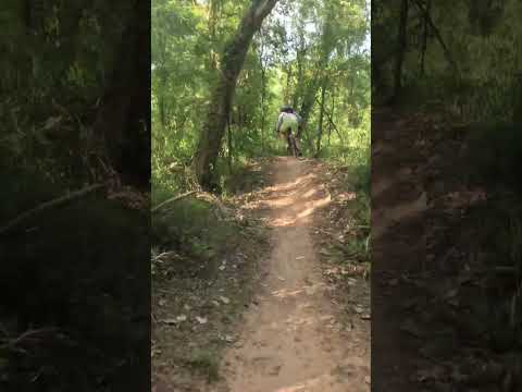
Mountain-bike trails in Sugar Land

A ride along shaded dirt singletrack on Sugar Land's mountain-bike trails. A Short shared by Venable Adventures.

Watch on YouTube ↗
Wildlife at Cullinan Park video thumbnail

THINGS TO DO · YOUTUBE SHORT

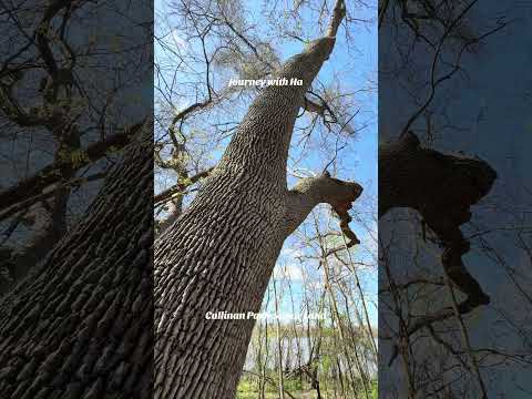
Wildlife at Cullinan Park

Tall trees, water and birdlife along the trails of Cullinan Park. A Short shared by Journey with Ha.

Watch on YouTube ↗

More outdoors near Sugar Land

Questions

Where is the closest place for hiking near Sugar Land?

Buffalo Bayou (US Army Corps of Engineers), about 14 miles north of Sugar Land as the crow flies. Next are Attwater Prairie Chicken National Wildlife Refuge (38 mi) and Brazoria National Wildlife Refuge (43 mi).

When is the best time for hiking near Sugar Land?

Based on Sugar Land’s average highs, November–April. Conditions at higher elevations can be much cooler.

Who manages these places?

Federal agencies including US Army Corps of Engineers, Fish and Wildlife Service, USDA Forest Service. Each listing links to its official page for hours, fees, closures and current conditions.

Sugar Land AI

Your Sugar Land local guide
Hey there!

I'm Sugar Land AI. Ask about neighborhood food, independent shops, local history or planning a visit.

AI recommendations may be inaccurate. Verify hours and prices. Questions are processed by Cloudflare. Privacy