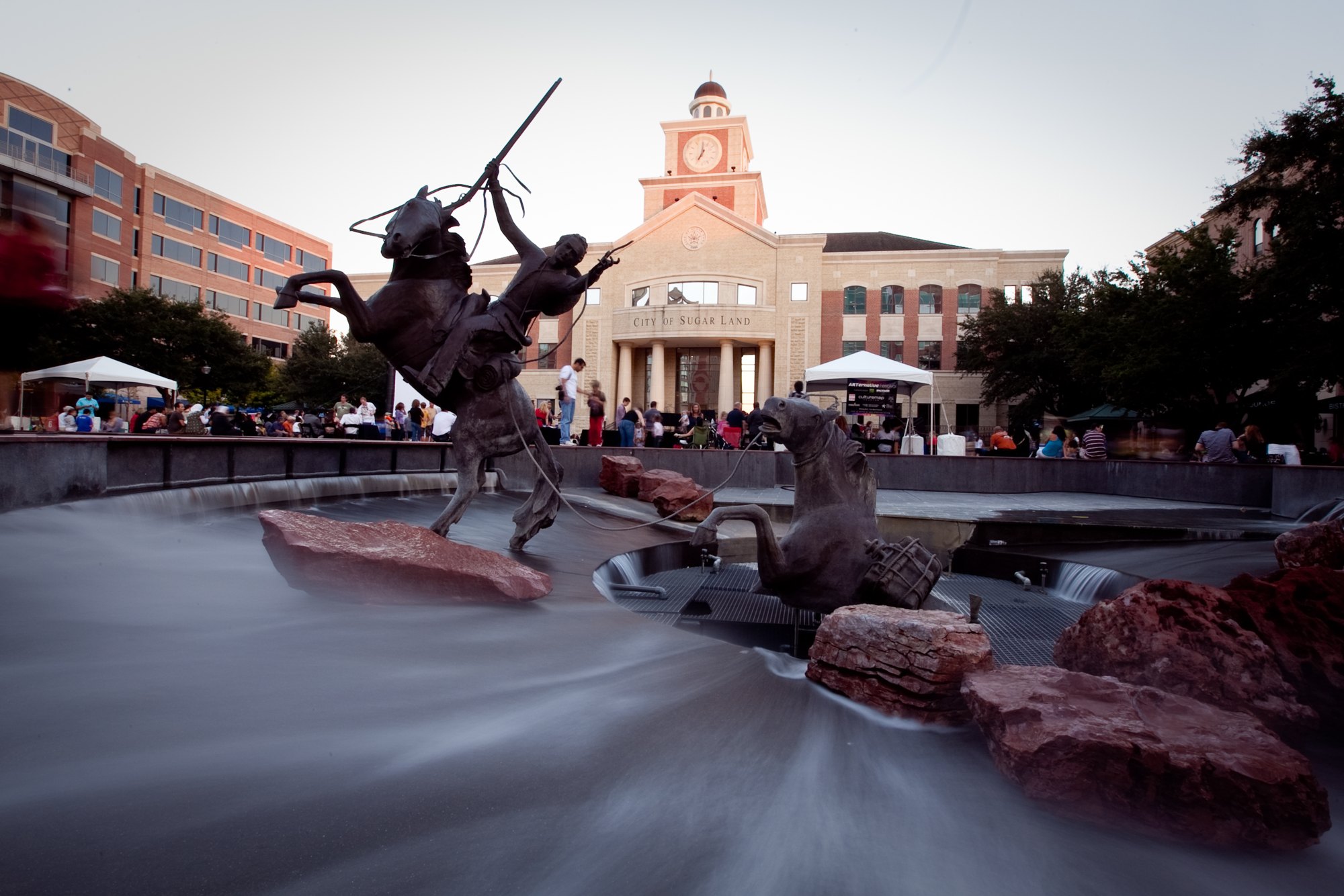
Sugar Land Town Square and its public plaza

Outdoors

Swimming holes and lakes near Sugar Land

Lakes, rivers and beaches near Sugar Land where swimming is allowed on public land.

6places to swim
71 mito the closest
April–Octoberbest months

Good to know: Most natural swimming areas have no lifeguard; check water-quality advisories and current conditions before swimming.

Closest picks

1

Double Lake Recreation Area

71 mi northeast · USDA Forest Service

Double Lake Recreation Area was built in 1937 by the Civilian Conservation Corps and offers a little of everything, including camping, fishing, swimming, picnicking, hiking and simply relaxing in nature.
2

Ratcliff Lake Recreation Area

127 mi north · USDA Forest Service

Ratcliff Lake Recreation Area was built in 1936 by the Civilian Conservation Corps.

3

Taylor

127 mi northwest · US Army Corps of Engineers

Taylor Campground, on the banks of Granger Lake, is an excellent lakeside destination for families of all ages. The park pleases nature lovers with its hiking trail and water skiers with its easily accessible boat dock.

Map of all 6 places

Map of 6 places loads as you scroll.

30 to 75 miles (1)

71 mi northeast · USDA Forest Service · Campground

Double Lake Recreation Area

Double Lake Recreation Area was built in 1937 by the Civilian Conservation Corps and offers a little of everything, including camping, fishing, swimming, picnicking, hiking and simply relaxing in nature.

  • Biking
  • Boating
  • Camping
  • Fishing
  • Hiking
  • Kayaking
  • Mountain Biking
  • Picnicking

75 miles and farther (5)

127 mi north · USDA Forest Service · Campground

Ratcliff Lake Recreation Area

Ratcliff Lake Recreation Area was built in 1936 by the Civilian Conservation Corps.

  • Boating
  • Camping
  • Canoeing
  • Fishing
  • Hiking
  • History
  • Kayaking
  • Swimming

127 mi northwest · US Army Corps of Engineers · Campground

Taylor

Taylor Campground, on the banks of Granger Lake, is an excellent lakeside destination for families of all ages. The park pleases nature lovers with its hiking trail and water skiers with its easily accessible boat dock.

  • Biking
  • Camping
  • Fishing
  • Hiking
  • Swimming
  • Water sports
  • Wildlife viewing

127 mi northwest · US Army Corps of Engineers · Campground

Wilson H Fox

Wilson H. Fox Park attracts a variety of campers looking for a fun-filled escape. In springtime, the campground is a colorful place covered in a blanket of wildflowers.

  • Camping
  • Swimming

130 mi northwest · US Army Corps of Engineers · Campground

Willis Creek

Willis Creek is the ideal place for campers looking for a variety of accommodations. A group campground and five equestrian sites are available, in addition to a row of standard camping sites.

  • Camping
  • Fishing
  • Horseback riding
  • Swimming
  • Water sports

132 mi northeast · USDA Forest Service

National Forests and Grasslands in Texas

.

  • Biking
  • Boating
  • Camping
  • Fishing
  • Hiking
  • Horse Camping
  • Horseback riding
  • Off-highway vehicles

Distances are straight-line miles from downtown Sugar Land. Listings come from Recreation.gov’s federal recreation database; check each official page for hours, fees, fire restrictions and closures before you go.

Get outside around Sugar Land

Mountain-bike trails in Sugar Land video thumbnail

THINGS TO DO · YOUTUBE SHORT

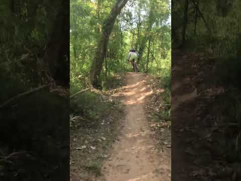
Mountain-bike trails in Sugar Land

A ride along shaded dirt singletrack on Sugar Land's mountain-bike trails. A Short shared by Venable Adventures.

Watch on YouTube ↗
Wildlife at Cullinan Park video thumbnail

THINGS TO DO · YOUTUBE SHORT

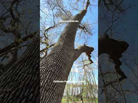
Wildlife at Cullinan Park

Tall trees, water and birdlife along the trails of Cullinan Park. A Short shared by Journey with Ha.

Watch on YouTube ↗

More outdoors near Sugar Land

Questions

Where is the closest place for swimming near Sugar Land?

Double Lake Recreation Area (USDA Forest Service), about 71 miles northeast of Sugar Land as the crow flies. Next are Ratcliff Lake Recreation Area (127 mi) and Taylor (127 mi).

When is the best time for swimming near Sugar Land?

Based on Sugar Land’s average highs, April–October. Conditions at higher elevations can be much cooler.

Who manages these places?

Federal agencies including USDA Forest Service, US Army Corps of Engineers. Each listing links to its official page for hours, fees, closures and current conditions.

Sugar Land AI

Your Sugar Land local guide
Hey there!

I'm Sugar Land AI. Ask about neighborhood food, independent shops, local history or planning a visit.

AI recommendations may be inaccurate. Verify hours and prices. Questions are processed by Cloudflare. Privacy